
Quality and Speed Since 1960.
Bridging a 60-year legacy with modern technical precision. Delivering legally defensible land surveys for commercial and residential developments across Arkansas.
Precision Land Surveying Services
Comprehensive surveying solutions backed by six decades of Arkansas terrain expertise and state-of-the-art GNSS technology.
Boundary Surveying
Establish precise property lines, resolve disputes, and ensure legal compliance with definitive boundary determinations.
Learn more →Topographic Surveying
Detailed mapping of natural and man-made features, contours, and elevations crucial for architectural and engineering design.
Learn more →ALTA/NSPS Surveys
Rigorous, standardized surveys providing comprehensive property data required by title companies and commercial lenders.
Learn more →Construction Staking
Translating paper plans to the physical site with pinpoint accuracy to guide contractors during the building process.
Learn more →Subdivision Layout
Dividing larger tracts of land into smaller parcels, complete with platting and adherence to local zoning regulations.
Learn more →Elevation Certificates
FEMA-compliant documentation of building elevations to determine flood insurance rates and compliance with local ordinances.
Learn more →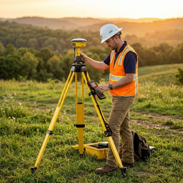
Ready to Start Your Project?
Contact our team today to discuss your surveying needs. We'll review your parcel and respond with an estimate promptly.
Request Your Free Quote